My grandpa passed away last year, and though it wasn’t Covid-19 that got him, one of the nth-order-effects of the pandemic is that I’ve had loads of time to explore my grandparents’ legacy. They were fervent travellers, and I recently discovered a box of old tourist maps from some of the places they visited across their lives.
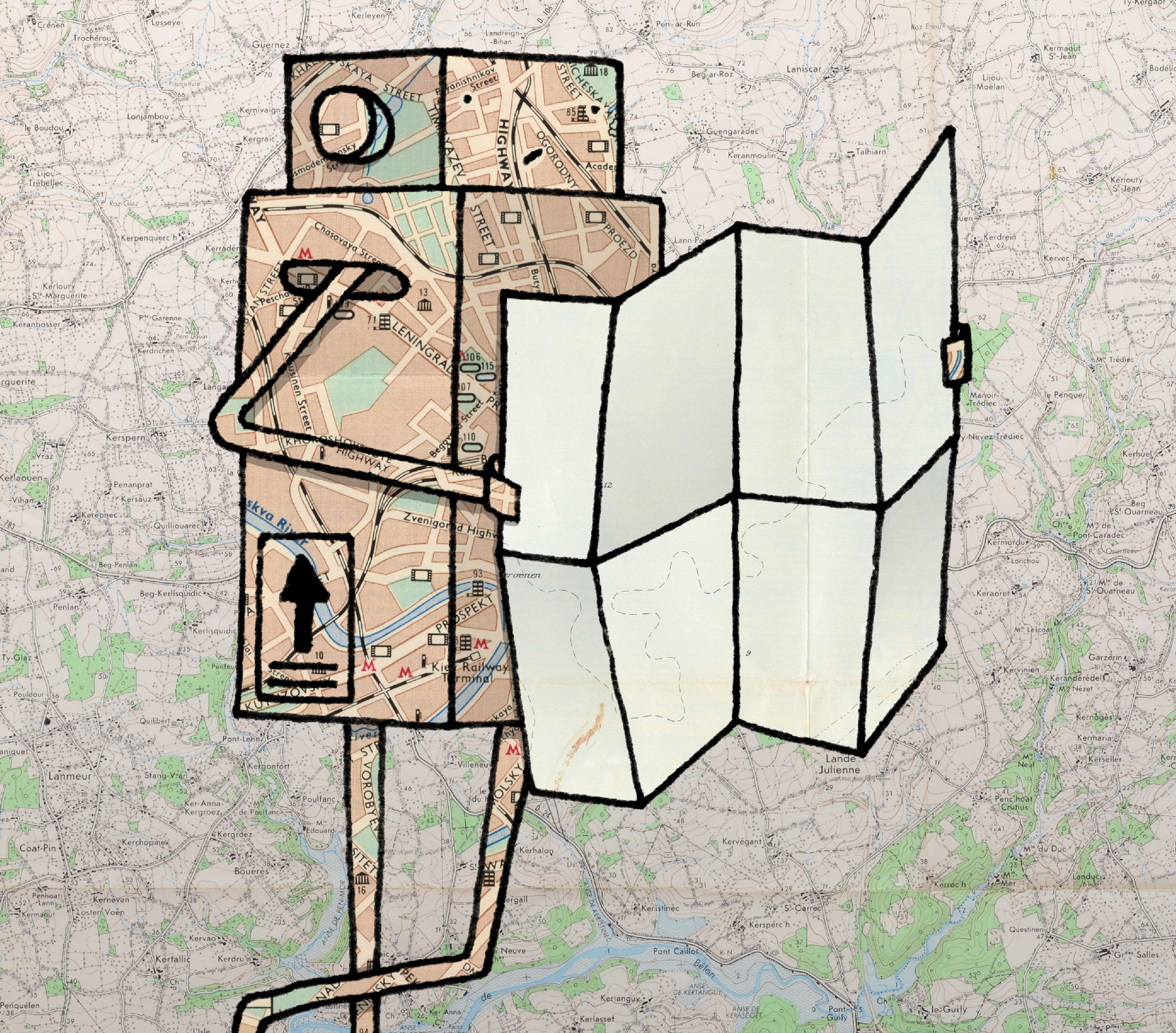
Tourist maps may not seem like such an interesting artefact today, but some of these were just plain lovely. Products of a pre-computer design era, and before they became cheaply-printed vehicles for advertising, they’re just nice to look at.
While I’m sure a 45-year-old map of bus routes in Rome isn’t going to have a functional purpose any more, they’re still such attractive images that I’ve decided to share them with the wider internet under a liberal usage license. I think some of these images have the potential to be used in artwork in interesting ways, which is part of the reason I’ve digitised them myself, in arbitrarily high resolution.
How high-res they are largely depends on how big the physical map was – for the bigger maps I photographed them in pieces, then did a quick stitching of them in my ancient version of Photoshop. Some of the seams aren’t perfect, but that’s not really why the images are there.
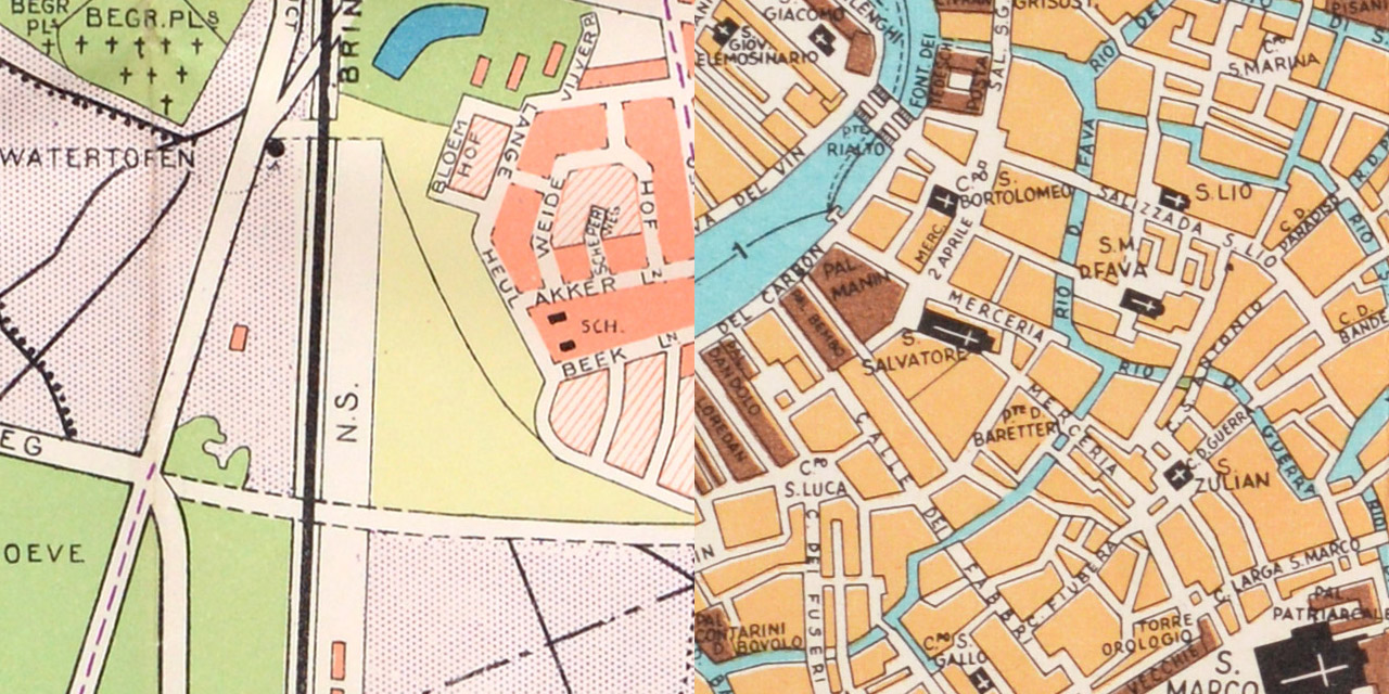
Surprisingly, this isn’t anywhere near all of the maps in the collection I found, but I just picked out the ones I thought were the prettiest. I particularly like one of the maps of Venice, a surprisingly-cheerful and hand-drawn map of Manhattan, and how much Washington DC looks like a Sim City map.
I hope whoever finds them makes something interesting with them – hopefully something better than opportunists selling overpriced prints of them on Etsy, because that would make me sad. Make something cool, internet!